
"
LOTHIAN REGIONAL COUNCIL HIGHWAYS
Director P J Mason
19 Market Street
Edinburgh EH1 1BL
Telephone 031-229 9292
Telex 727586
NETWORK OF PEDAL CYCLE ROUTES
CYCLEWAYS/FOOTPATHS USING DISUSED RAILWAYS
It is the policy of the Regional Council to allow greater freedom of movement pedestrians or and cyclists_ and to encourage more people to walk and cycle for work and leisure journeys (Structure Plan - paragraphs 76 and 13l4(a)).
The disused North Leith railway line, which is currently being purchased, and the other lines already owned by the Regional Council would provide suitable safe routes for cycleways/footpaths. A network of cycle routes could be formed by use of these tracks. some less heavily trafficked streets and other existing paths. Continuous routes would be created, thereby providing access to the Central Area of Edinburgh and serving other localities. A possible network is shown on the plan in the exhibition.
Use of these routes by cyclists would enable them to avoid many of the busier, more congested streets, and roads used by faster traffic. They would help to reduce the number of accidents involving cyclists, and 'to encourage more people to use cycles.
Where appropriate, Traffic Regulation Orders would be sought to regulate the use of the cycleways/footpaths and exclude motor cyclists.
It ls envisaged that the network could gradually be extended so that, where possible routes would be available for cyclists connecting the inner suburbs with the countryside surrounding the urban area.
Comments and suggestions about the suitability of the possible routes will be welcomed, and the completion of the questionnaire would be of assistance.
All communIcations to be addressed to the Director
"
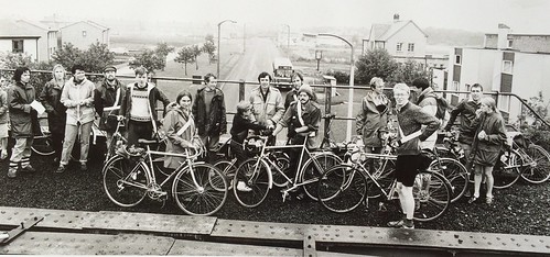
Must be mid-1980s


 posts
posts
