
http://gizmodo.com/this-wacky-world-map-just-won-japans-biggest-design-awa-1788437402
CityCyclingEdinburgh Forum » Resources
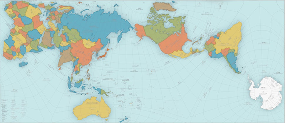
For people who like maps
(42 posts)-
Posted 9 years ago #
-
I do like maps. Especially ones that put us in our proper place.
Posted 9 years ago # -
A. What is going on with Brazil?
B. On the a70 heading east after tarbrax you leave south Lanarkshire before the toll house now nearly completely fallen down. 50 metres before you enter west Lothian, by the sign posts anyway.Could we move there and start our own country?
Posted 9 years ago # -
Could we move there and start our own country?
Let's keep an eye on this meantime;
Posted 9 years ago # -
Second link to map of the village paddyirish linked to - this time on OSM (clearer in this rendering):
http://www.openstreetmap.org/#map=15/51.4410/4.9308Posted 9 years ago # -
I don't think there's an analogous place on the England / Scotland border. There's a handful of villages on one or other side of the border abutting against it e.g. Kershopefoot in England or Coldstream in Scotland but none seem to actually span it.
Posted 9 years ago # -
There is a little bit of Scotland south of the Tweed near Coldstream and an even smaller bit of England west of the Tweed near Horncliffe but neither seem inhabited.
Posted 9 years ago # -
Looks like the best (and only?) contender for a border straddling 'place' is Scotsdike with two of its three houses north of the border and the other three plus a hotel to the south.
https://www.google.co.uk/maps/@55.0492513,-2.9610613,275m/data=!3m1!1e3?hl=en
Posted 9 years ago # -
Although the urban part of Gretna is north of the border there's a couple of outlying houses just south of the border.
Posted 9 years ago # -
"Also on the Tweed, the border mysteriously cuts an island in half here"
Britain in miniature.
I wonder of the Kippies and Dreepers get along?
Posted 9 years ago # -
I wonder how Upsettington (just north of there) got it's name.
Posted 9 years ago # -
Stretching it a bit but the chain bridge honey farm at horncliffe on the tweed near Berwick is in England but cross the bridge, you can only do so on foot or bike, or if local ignoring risk and you get to a house in Scotland, but you hav to walk a bit. The bee farm famous for having a cafe inside a double decker bus.
Posted 9 years ago # -
Posted 9 years ago #
-
A map from CEC planning dept. showing local development plans, etc:
More info:
Posted 9 years ago # -
Lyth, Pilrig, Restalrigh, Brunstoun, Nyddry...all there on Open Streets 1654 stylee;
http://maps.nls.uk/view/00000395#zoom=5&lat=3368&lon=3806&layers=BT
Posted 9 years ago # -
It was the chainbridge at Honey Farm that newsnight filmed an episode with kirsty ward, and Nicola Sturgeon before the referendum, most people voted yes so received no newspaper coverage or reporting after it aired live. We had to walk over the bridge and vote the BBC had tried to choose a balance of undecided voters we got phoned before to confirm undecided
Posted 9 years ago # -
There's a 'Weirdy' next to Grantoun.
http://maps.nls.uk/view/00000395#zoom=6&lat=3704&lon=3367&layers=BT
Posted 9 years ago # -
I quite like Nether Kramont and Ober Kramont instead of Cramond and Barnton.
Mind you, at least they're only using one M unlike pretty much everyone else, ever.
Posted 9 years ago # -
@Ed1 the chain bridge is getting £5million makeover
Posted 9 years ago # -
I like Inner Lythe (Inverleith of course!), though the giant testicle to the west is worrying.
Posted 9 years ago # -
"the giant testicle to the west is worrying"
Possibly connected to the alarming protrusion just west of Lyth.
Posted 9 years ago # -
Speaking of such things, I like the huge sperm whale between Nether Gogar and Korstor C(astle).
Posted 9 years ago # -
I like the way Edenburgh intra muros is depicted as a gurnard.
 Posted 9 years ago #
 -
The Kaiser would have felt right at home in Ober Kramont
Posted 9 years ago # -
& Gorgy seems to have moved downstream & east in the interim
Posted 9 years ago # -
To be fair the map is Dutch and pre-GPS, pre-theodolite even. I say Dutch, it pre-dates the Kingdom of Holland too.
Posted 9 years ago # -
"Long Gilmoortoun"
No sign of a Short Gilmerton.
Posted 9 years ago # -
Newbridge has moved considerable further from town in the last 4 centuries. Imagine what the people of Roseburn would do should there be a suggestion for a new bridge there now.
I can see why the people of Weirdy decided to change to spelling it with an a though.
Posted 9 years ago #
Reply »
You must log in to post.
 posts
posts
