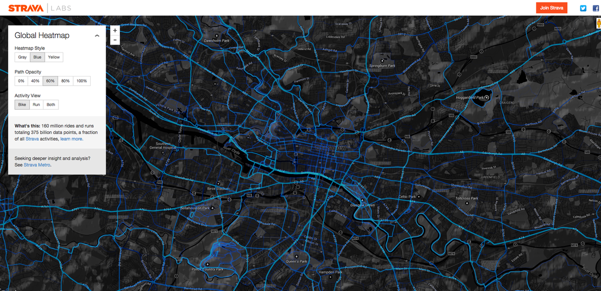
Mapping routes is pretty pointless, but having data on start points and destinations would be very useful.
It's one of the problems with the bus system too. So many buses go to Princes St even though many people probably don't actually want to go there as a destination but perhaps from Pilton to Sighthill. Back home they have a survey twice a year where they not only count the people on different buses, but actually go around and ask "Where did you start this journey, and where do you want to go?" It's not an app, they actually ask people and therefore get a representative sample, not just techies.
Instead of an app that produces route heatmaps, it makes more sense to get data from planning website/app like cyclestreets to get start/end point pairs. If certain combinations of start and end points are very popular, then you know you need to build a route between them.
Even better would be something that's independent of transport mode, like a proper representative survey, but that is far more costly than an app.

 posts
posts
