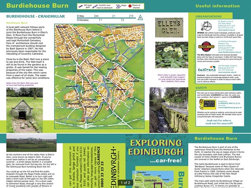
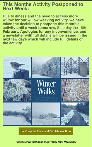
"I'd never heard of Burdiehouse Burn, despite living here for nearly 20 years."
In the same way, lots of people in north Ed have never heard of (or at least ventured on to) the NEPN.
I mostly know the bits I know (quite a lot) because of (initially) exploring locally mostly by bike, plus a certain amount of walking.
PLUS (of course) studying the Spokes map (and older maps). In fact I only found out about the narrow path between Myreside and Colinton Road from a 1960s mapbook! I think I got it added to the Spokes map.
Since then there have been Google Earth/Maps/StreetView - then OSM and CycleStreets PLUS smartphones! (Plus a lot of signage work by CEC and Sustrans.)
So no excuses - get out and explore. Most of it is now mapped, but there are still places to be explored by looking at satellite images and wondering how to reach them or 'can I get through there'.
One day I will find a map with all the proposed 'Family Routes' and see if they encourage people to visit the 'green bits'.
Most people (even on CCE) probably don't know this site -
https://www.edinburghoutdoors.org.uk


 posts
posts
