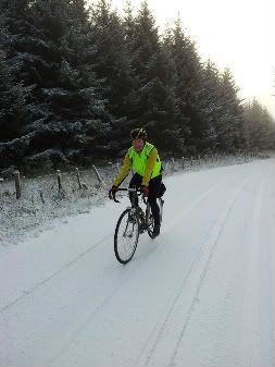
Some people just don't see the big picture. Gritters do the bus roads, then non bus roads, then side roads, then cycle paths (grumpy)...
I clicked on the intersection of the path were we stopped on the link below the grid ref and then just cut n pasted here. (it was prob the front wheel)
(from my days in the b'Army)
6 fig grid ref acurate to 100m (good with 1:50000 - red/pink cover)
8 fig grid ref acurate to 10m (good with 1:25000 - Orange/yellow cover)
10 fig grid ref not accurate, as map is not accurate to that.
1:25000 only accurate to ~100m. i.e. one thing I recall was anything within ~60m of a road is marked on map as coincident with road edge. Any buildings within 30m of each other merged.
I used to have some of the old green paper 1:10000 maps where I lived in Leeds. I'm a map geek.


 posts
posts
