
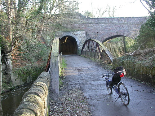
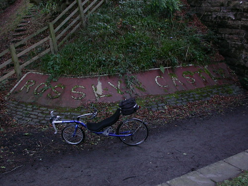
Arellcat of this forum sent me a route out to Penicuik. Just did a ride out and back today to assess obstacles and surface. This recce is for the long trike's first outing with owners. Thye're staying out that way and naturally want try it out on some traffic free paths as well as the road.
Some pics of how it looked. Tarred to Rosewell and then a mix. One very narrow muddy bit. Tunnels paved.
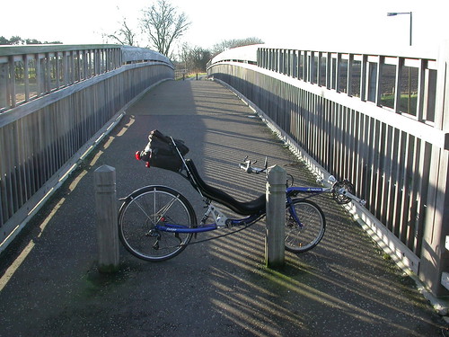
Penicuik Path NCN73 by LaidBackBikes, on Flickr
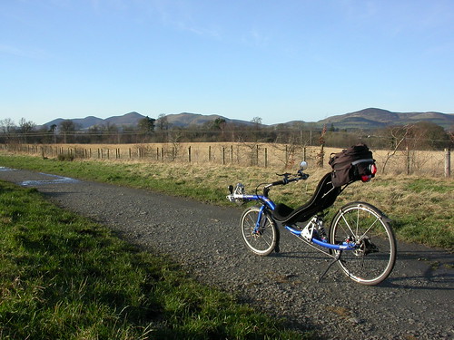
Penicuik Path NCN73 by LaidBackBikes, on Flickr
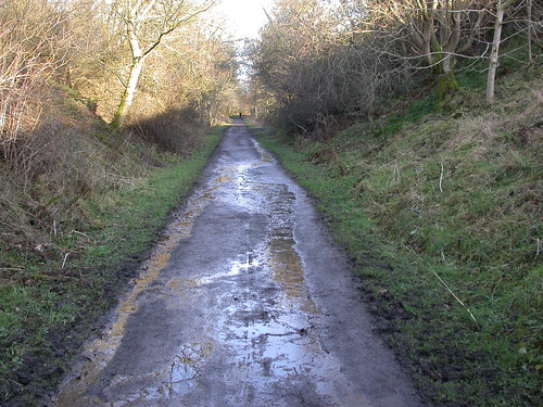
Penicuik Path NCN73 by LaidBackBikes, on Flickr
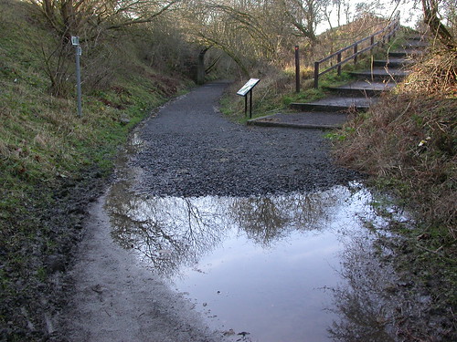
Penicuik Path NCN73 by LaidBackBikes, on Flickr
Penicuik Path NCN73 by LaidBackBikes, on Flickr
Penicuik Path NCN73 by LaidBackBikes, on Flickr


 posts
posts
