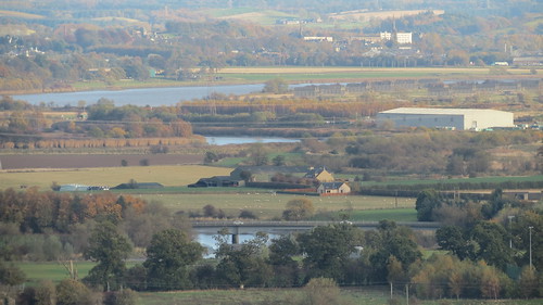
One of the Forth's bridges -
CityCyclingEdinburgh was launched on the 27th of October 2009 as "an experiment".
IT’S TRUE!
CCE is 15years old!
Well done to ALL posters
It soon became useful and entertaining. There are regular posters, people who add useful info occasionally and plenty more who drop by to watch. That's fine. If you want to add news/comments it's easy to register and become a member.
RULES No personal insults. No swearing.

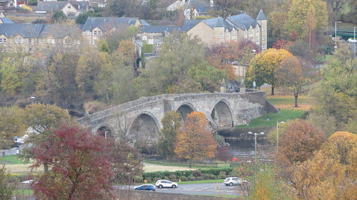
One of the Forth's bridges -
And another -
Looking at the proposed route - I'd change it only a wee bit. If we start and finish in Inverkeithing, we can cross the new bridge in both directions, southbound in the morning, northbound when we're finishing.
This also means we can cross the Clackmannanshire bridge on the outward leg and the Kincardine bridge on the return leg, which makes the route slightly more aesthetically pleasing, which is of course incredibly important...
Checked with Stirling Council that the wee bridge next to the M9 is crossable:
"Thanks for your email.
Whilst you can walk across it you cannot cycle across it as there are steps and the bridge is too narrow to accommodate a cycle.
The bridge is a Scottish Water Pipe with attached access bridge it was designed to allow their staff to access either side of the river rather than to promote access.
Hope this helps."
outstanding work @Frenchy.
Bike over the shoulder? If Danny MaCaskill can do it on the Inn Pinn...
The only concern I have is that the route follows the A84 more than I would like, which I've always imagined to be very unpleasant to cycle. But there doesn't seem to be much alternative.
Excuse me for going back on topic briefly. I noticed this morning that the signs at the zebra crossing direct "Pedestrians and Waling Cyclists". It raises a whole raft of when is a pedestrian not a pedestrian style questions but does confirm that they presumably expect mounted cyclists to remain on the road for the time being.
Dear enquiries@forthreplacementcrossing.info -
As part of the reconstruction of the B980 between Castlandhill Road and Ferrytoll, you've built a shared use path intended for cycle traffic.
The northern end of the shared use path at Castlandhill has no dropped kerb for entry or exit to access the cycle path - has this been noted, and when will this be remedied?
Since the cycle path has been installed, its been dug up again in various sections for pipes, leaving only hardcore fill across its width. When will this be remedied?
There are several junctions along the cycle path, leading to barely used fields / gates. Why has the cycle path been constructed to give way at each of these junctions? Why is it not continuous, as would be expected alongside the B980?
The give way junctions to nowhere are often blocked by parked trailer lorries, rendering the cycle path inaccessible and unusable. What measures will you introduce to prevent this?
Given the barriers to path use described above (no dropped kerb, unnecessary yielding at little used junctions, parked lorries and cars blocking junctions to nowhere) - please explain how your design has considered or met the sustainable travel hierarchy promoted by Transport Scotland's National Strategy, which claims to promote planning for cycling and walking in preference to car use?
I look forward to the reply!!
prompt reply from enquiries@fcbcjv.co.uk
noteworthy that's the direct email address for all your ferrytoll reconstruction project related concerns
i'll feed back later, still in dialogue on the B980 front meantime
noteworthy that's the direct email address for all your ferrytoll reconstruction project related concerns
I genuinely thought you'd just lazily smashed your hand on the keyboard instead of typing out forthreplacementcrossing.info
aye tis the constructors project domain
The paraphrased update to my B980 queries is as follows:
[fcbcjv] we don't have to answer your questions as the path you describe is only a footway, not designated as shared use
[bax] but there's large red signage at the southern end beckoning PEDESTRIANS / CYCLISTS this way and a big arrow pointing up the path in question
[fcbcjv] ... two days of silence ... nada
then...
black masking tape now obscures all the "PEDESTRIANS / CYCLISTS" text on the signage...
* sigh *
"Your e-mail will now be forwarded to the appropriate person within the agency for them to take any action. If a response is required this will be given within 20 working days.
Thank you.
Transport Scotland:
0141 272 7100
hmm..... "
It appear no response is warrented? I may try this new email address.
"black masking tape now obscures all the "PEDESTRIANS / CYCLISTS" text on the signage..."
Are these 'proper' signs or just temporary?
they are large red rectangular temporary signs, but text is specific to the path in question, ie. not generic, not temporary re-routing
You must log in to post.

 Cycling in Edinburgh Flickr group
Video embedded using Easy Video Embed plugin
 posts
posts