"""
14 November 2014
Dear Sir/Madam
LOANHEAD TO GILMERTON CYCLE SCHEME – PHASE TWO
The City of Edinburgh Council, in partnership with Sustrans, is developing a scheme to enhance cycling and walking provision between Edinburgh and Midlothian. This scheme supports walking and cycling policies detailed in the Council’s current Local Transport Strategy and Active Travel Action Plan.
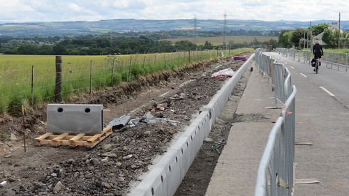
Earlier this year, a new 900 metre cycleway along the former railway line between Lasswade Road and Midlothian was completed, and this opened to the public in August 2014. This forms part of the Council’s Family Network Cycle Route 61.
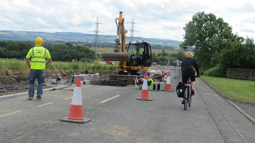
In order to improve and extend this route further, the following works are now proposed:
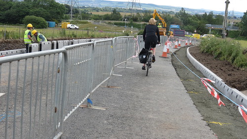
• resurfacing and widening of the footway on the east side of Lasswade Road between Gilmerton Station Road and Gilmerton Dykes Road to create a three metre wide shared use cycleway;
• lighting of the route between Lang Loan and Midlothian, including Lasswade Road and the cycle path along the former railway line between Lasswade Road and Loanhead;
• working with Midlothian Council to sign the full route between Roslin and Holyrood Park, where the route connects with the National Cycle Network Route 1; and
• a reduction of the speed limit to 40mph on Lasswade Road south of the Lang Loan roundabout.
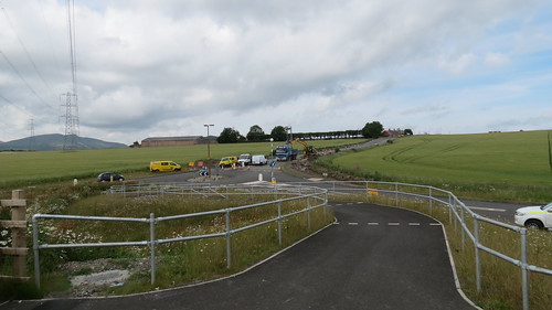
The proposed improvements are shown on the accompanying plan.
It is currently anticipated that work on this scheme will commence on site in early February 2015, and will last for a maximum of eight weeks.
In order to enable the works to be carried out, it will be necessary to temporarily close Lasswade Road for periods, during off-peak hours and at weekends. During these closures, a temporary diversion will be in place. However, we will seek to minimise this disruption wherever possible, and will ensure access to adjacent properties is maintained at all times.
For safety reasons, access to the cycle path along the former railway line to Midlothian is likely to be restricted while lighting works are being carried out, and we will also seek to minimise this disruption.
Further information on construction dates and traffic management arrangements will be provided in January 2014. However, should you require any further information in the meantime, please do not hesitate to contact me.
Yours faithfully
Callum Smith
"""


 posts
posts
